Round of Beinn a’Ghlo

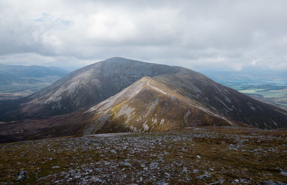
The Beinn a’Ghlo group near Blair Athol, while easy enough to access from the Central Belt, provides some very fine running on excellent ground, with entertaining terrain around the summits, and only small amount of heather bashing on the final descent. The views are excellent – these hills have far more character than one might expect looking at them from the glens below.
Start at the end of the road near Loch Moraig (NN 906 671). From here, a scar of the walkers’ path up Carn Liath (as marked on OS map) is clearly visible. Take this to the summit, and beyond. Along the Bhein Mhaol ridge staying high is much preferrable to cutting the corner as the Munroe baggers’s path does. As you climb up Braigh Coire Chruinn-bhalgain, if necessary, water can be had from the stream running down its SW face without loosing height.
From the summit the purists will want to head over to the 1004m top before descending into the narrow bealach that seperates these hills from Beinn a’Ghlo proper (NN 958 727). From there visit all three cairns of Beinn a’Ghlo, the most northerly of which is the true summit of 1121m, then on the way back head up Airgiod Bheinn for more views, before descending back to the narrow bealach (NN 958 727).
From the S side of the bealach a faint path follows Allt Bealach an Fhiodha, initially along its E side, though later on a better path can be picked up on the W side. As the stream turns the corner to head in SE direction, a walkers’ path will become clearly visible further down, countouring the lower slopes of Beinn Bheag (not on OS map) – ignore this. Instead follow the stream all to way to where it joins Allt Coire Lagain.
Cross over the latter stream and climb the 40 or so vertical meters to pick up the stalker’s path marked on the OS map. Although at this point no bigger than a sheep track, the ground under foot is excellent, making for most enjoyable running at any pace desired – you should, nevertheless, take some time to enjoy the views back.
As the path crosses Allt Coire Lagain again (NN 951 688), it becomes a quadbike track (clearly visible from distance), and eventually joins the more substantial landy track back to the starting point.
24km / 1350m vertical ascent / ~4h